
Description
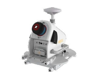
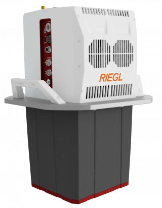
With the VUX-100-25, RIEGL offers a lightweight and versatile airborne laser scanner with a large field of view of 160 degrees and an high pulse repetition rate of up to 1,500 kHz.
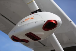
Combined with a measurement rate of up to 1.3 million measurements/sec, a scan speed of up to 200 lines/second, and an operating flight altitude of up to 360 m / 1,200 feet, the sensor provides an extra wide area coverage, which is especially advantageous for applications like mapping of complex terrain and narrow canyons. The sophisticated design and the low weight of 2.36 kg / 4.4 lbs allows smooth integration on drones, but also on small crewed planes (like gyrocopters) and on helicopters.
For customer-specific system solutions by professional system integrators, a special OEM-Version of the RIEGL VUX-100-25, which provides customer specific interfaces and less weight, is provided.
The scanner is available as stand-alone UAV-LiDAR sensor, but also in various fully-integrated laser scanning system configurations with appropriate IMU/GNSS system and optional cameras.
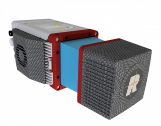
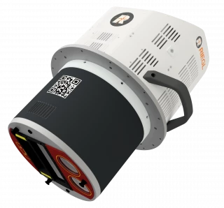
NEW: RIEGL offers a fully integrated VUX-series LiDAR solution with a high-precision inertial subsystem for localization and orientation (Localization/Orientation Component), the RiLOC-F.
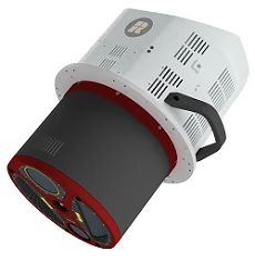
The version of the RIEGL VUX-100-25 includes a high-precision Micro Electro Mechanical System (MEMS) Inertial Measurement Unit (IMU), a GNSS unit, and appropriate software. All components are included in a compact and lightweight housing, that is directly attached to the scanner.
The combination of the LiDAR sensor and RiLOC-F into a compact complete LiDAR system is the ideal solution for small-scale LiDAR surveying with drones. In such applications, using a nearby local base station ensures the shortest base length and thus maximum accuracy in the georeferencing of the high-precision LiDAR data from the RIEGL VUX-series high-precision LiDAR sensor.
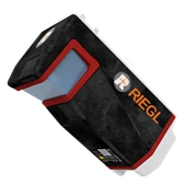
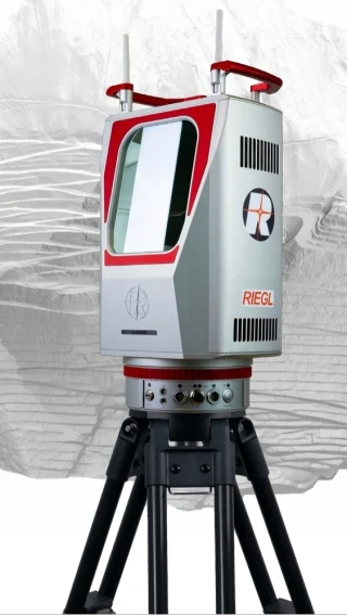
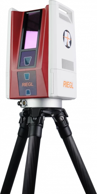
RIEGL VUX-100-25 High-Performance Airborne LiDAR for Unmanned Aerial Vehicles
Specifications
| Maximum Measurement Range: | 360 m |
|---|---|
| Minimum Measurement Range: | 5 m |
| Measurement Rate: | 1333333 meas./sec |
| Accuracy: | 50 mm |
| Precision: | 5 mm |
| Laser Type: | 2D LiDAR (Laser Scanning) |
| Field Of View: | up to 160° |
| Pulse Repetition Rate: | Up to 1,000 kHz |
| Scan Frequency: | 200 Hz |
| Point Density: | > 250 points/m² (at typical settings) |
| Scan Speed: | up to 200 lines/second |
| Weight: | Approx. 2.3 kg |
| Dimensions: | 255 x 255 x 210 mm |
| Power Supply: | 12-36 V DC |
| Data Storage: | Internal memory, removable SD card |
| Temperature Range: | -10 to +50 °C |
Got questions about specs? Use the inquiry form to ask.
Features
- laser pulse repetition rate up to 1,500 kHz
- measurement rate up to 1,333,333 meas./sec
- scan speed up to 200 lines/second
- operating flight altitude up to 360 m / 1,200 ft @ 60% target reflectivity
- Field of View up to 160°
- compact & lightweight (2.36 kg / 4.4 lbs)
- cutting edge RIEGL technology providing: echo signal digitization, multiple target capability, online waveform processing, multiple-time-around processing
- easily mountable to unmanned platforms (UAVs) and small manned aircraft
- mechanical and electrical interface for IMU/GNSS integration
- interfaces for up to 2 external cameras
- scan data storage on internal SSD Memory
- removeable CFAST® memory card
Applications
- Corridor Mapping: Power Line, Railway Track and Pipeline Inspection
- Topography in Open-Cast Mining
- Surveying of Urban Environments
- Archeology and Cultural Heritage Documentation
- Agriculture & Forestry
Frequently Asked Questions
What is the RIEGL VUX-100-25 used for?
How accurate is the data captured by the RIEGL VUX-100-25?
What is the pulse repetition rate of the RIEGL VUX-100-25?
What is the field of view of the RIEGL VUX-100-25?
What UAV platforms is the RIEGL VUX-100-25 compatible with?
Can the RIEGL VUX-100-25 be used for high-density mapping?
What types of data can be collected with the RIEGL VUX-100-25?
What is the flying altitude range for the RIEGL VUX-100-25?
How does the RIEGL VUX-100-25 handle real-time data processing?
Can the RIEGL VUX-100-25 be used for flood mapping?
Got more questions? Use the RFQ form to ask the supplier directly.
Similar Products
Need pricing for this product? Send a quick inquiry
Your inquiry has been received.
Create an account by adding a password
Why create an account?
- Auto-complete inquiry forms
- View and manage all your past messages
- Save products to your favorites
- Close your account anytime — no hassle