
Description
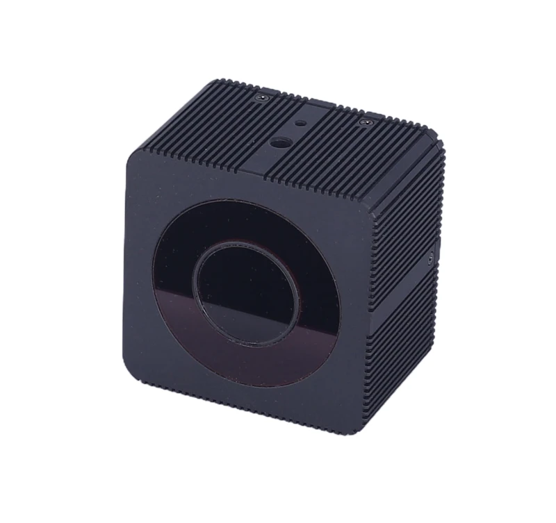
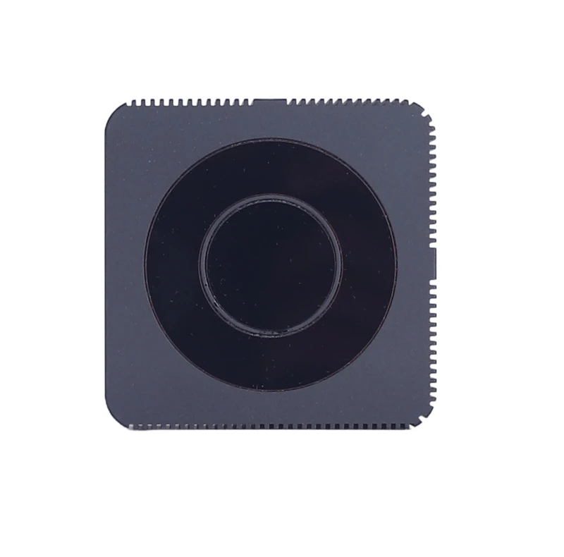
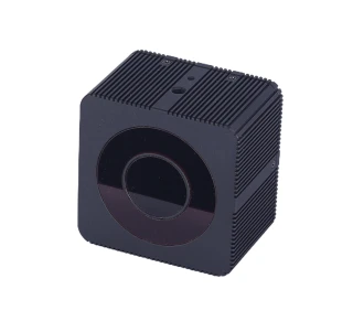
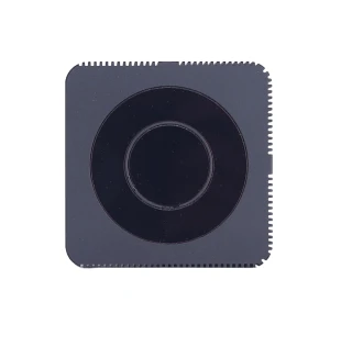
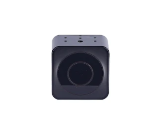
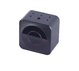
The XT-M120 is a cutting-edge 120 Lines Solid-State Flash Lidar developed by Shanghai ToFFuture Technology Co., Ltd. This advanced LiDAR system is designed to deliver exceptional performance and reliability, making it an ideal choice for a wide range of applications. With its solid-state design, the XT-M120 offers enhanced durability and longevity, ensuring consistent operation even in challenging environments. Its compact form factor and robust construction make it suitable for integration into various systems where space and reliability are critical.
XT - M120 Mini is a cost-effective, safe and reliable pure solid state flash blind detection LiDAR sensor. It can be widely used in autonomous vehicles, industrial machinery, UVA, intelligent traffic areas, such as engineering vehicles, intelligent security robots, V2X vehicles and road synchronization, blind detection and corner LiDAR.
One of the standout features of the XT-M120 series is its ability to emit invisible laser beams during operation. This capability is crucial for applications that require precise distance and speed measurements without interfering with the surrounding environment. The lidar system is engineered to meet Class 1 safety standards, ensuring that it is safe for human eyes and body during normal operation. This certification underscores the commitment to safety and quality that Shanghai ToFFuture Technology Co., Ltd. is known for.
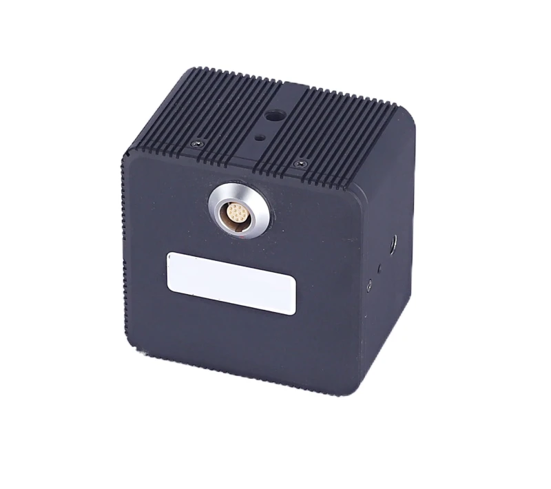
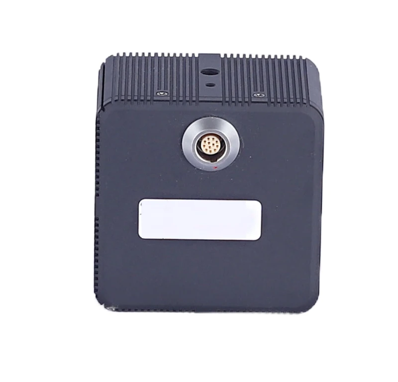
In terms of operational efficiency, the XT-M120 series is designed to function seamlessly once powered on, as it does not include a power switch. This feature simplifies its integration into existing systems, allowing for immediate operation upon connection to a power source. Users are advised to handle the device with care, especially during and immediately after operation, as the exterior may become hot. It is important to adhere to the recommended working temperature guidelines to maintain optimal performance and prevent any potential damage.
The XT-M120 series is a testament to Shanghai ToFFuture Technology Co., Ltd.'s expertise in LiDAR technology, offering a reliable and efficient solution for industries that demand precision and safety. Its innovative design and robust performance make it a valuable asset for any application requiring advanced lidar capabilities.
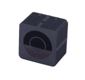
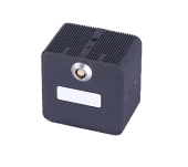
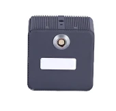
XT-M120 Mini Solid-State Flash LiDAR 20m Detect Range FOV 106° x 80°
Specifications
| Scanning Method: | Solid-State Flash LiDAR |
|---|---|
| Measurement Principle: | Time-of-Flight (ToF) LiDAR |
| Light Wavelength: | 940 nm |
| FOV (Horizontal Image View): | 106 deg |
| FOV (Vertical Image View): | 80 deg |
| FOV (Mechanical View) X Span: | 120 deg |
| FOV Vertical (Mechanical View): | 94 deg |
| Average Power: | 12 – 12 W |
| Accuracy: | 1 – 3 % |
| Angle Resolution (H): | 0.33 deg |
| Angle Resolution (V): | 0.66 deg |
| Measurement Distance Outdoor (50% Reflectivity): | 20 m |
| Measurement Distance Indoor (50% Reflectivity): | 0.3 – 25 m |
| Frame Rate: | 1 – 30 Hz |
| Working Temperature: | -40 – 85 degC |
| Lines: | 120 |
| Laser Safety Class: | Class 1 |
| Certification: | CB certification |
| Standard: | EN60825 |
| M Series: | Middle Range |
| Manufacturer Part Number (MPN): | XT-M120Mini |
| FindLight SKU: | FL-23919 |
Got questions about specs? Use the inquiry form to ask.
Features
- Advanced Solid-State Flash Lidar: The XT-M120 Mini features 120 lines of solid-state flash lidar technology, offering high-resolution and reliable performance for various applications.
- Class 1 Laser Safety: Certified to meet EN60825 standards, this lidar is safe for human eyes during normal operation, ensuring peace of mind in diverse environments.
- Seamless Operation: The XT-M120 Mini begins operation as soon as power is connected, eliminating the need for a power switch and simplifying usage.
- Robust Design: Built to withstand challenging conditions, the XT-M120 operates effectively in environments with high/low temperatures, strong vibrations, and heavy fog.
- High-Temperature Warning: Avoid direct contact with the product's shell during and immediately after operation to prevent burns or damage.
- Comprehensive Support: Access the latest user manual and technical support by contacting ToFFuture's sales or technical teams at info@toffuture.com.
- Safety Precautions: Avoid direct viewing of the laser, especially through magnifying equipment, to ensure user safety.
Applications
- Autonomous Vehicles: Enhance navigation and obstacle detection for self-driving cars.
- Robotics: Improve spatial awareness and object recognition in industrial and service robots.
- Mapping and Surveying: Generate high-resolution 3D maps for urban planning and construction.
- Security and Surveillance: Monitor and detect intrusions in restricted areas with precision.
- Agriculture: Assist in crop monitoring and management through precise field mapping.
- Smart Cities: Facilitate traffic management and infrastructure monitoring.
- Virtual and Augmented Reality: Enhance user experience with accurate environmental mapping.
- Environmental Monitoring: Track changes in natural landscapes and ecosystems.
- Logistics and Warehousing: Optimize inventory management and automate material handling.
- Disaster Management: Aid in search and rescue operations by providing real-time situational awareness.
Export & Trade Information
| ECCN: | EAR99 |
|---|---|
| HTS Code: | 9015.10.4000 |
| Estimated US Tariff: | 25% |
Frequently Asked Questions
What is the XT-M120?
Is the XT-M120 Mini safe for human eyes?
What precautions should be taken when using the XT-M120 Mini LiDAR sensor?
What should I do if the manual does not solve my problem?
Does the XT-M120 Mini LiDAR sensor have a power switch?
What environmental conditions might affect the XT-M120's performance?
Got more questions? Use the RFQ form to ask the supplier directly.
Similar Products
Need pricing for this product? Send a quick inquiry
Your inquiry has been received.
Create an account by adding a password
Why create an account?
- Auto-complete inquiry forms
- View and manage all your past messages
- Save products to your favorites
- Close your account anytime — no hassle