
Description
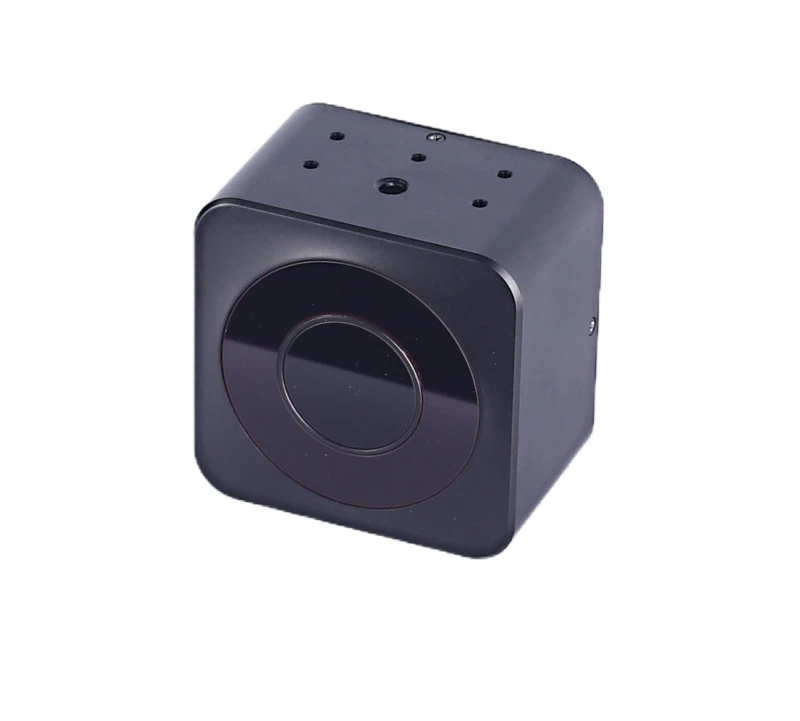
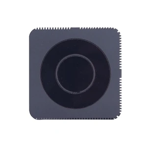
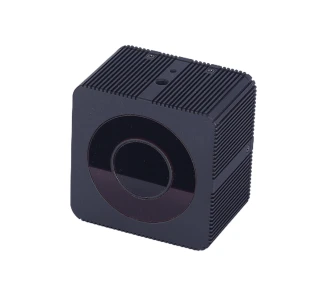
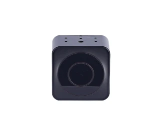
The XT-S240 240 Lines Solid-State Flash Lidar series from Shanghai ToFFuture Technology Co., Ltd. represents a cutting-edge advancement in lidar technology. Designed with precision and reliability in mind, this product is engineered to deliver exceptional performance in a variety of environments. As a solid-state flash lidar, the XT-S240 offers a robust and durable solution for capturing detailed spatial data, making it an ideal choice for industries that demand high accuracy and efficiency.
XT-S240 Mini is a cost-effective, safe and reliable pure solid state laser LiDAR sensor. It can be widely used in self driving cars and robotics, indoor/outdoor service robots and cleaning robots, unmanned aerial vehicles, and many other areas, such as AGV, AMR, automatic forklift, field mower, etc.
Safety is a paramount consideration in the design of the XT-S240 Mini. The device emits an invisible laser during operation, which is classified under Class 1 safety standards. This ensures that, under normal operating conditions, the lidar is safe for human eyes and body, having obtained the necessary CB certification in compliance with EN60825 requirements. Users are advised to avoid direct eye exposure to the laser, especially through magnifying equipment, to prevent potential harm.
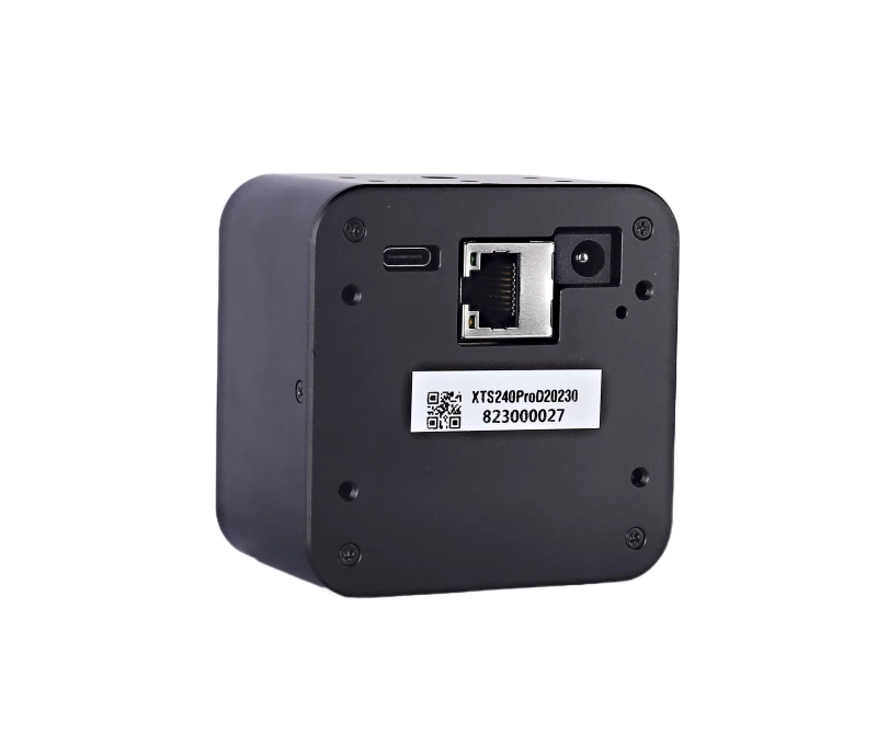
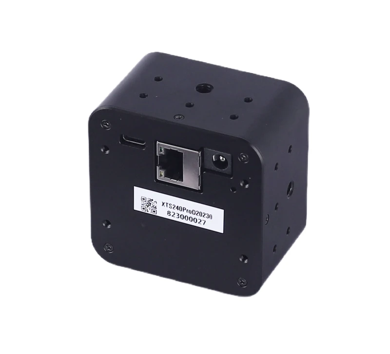
The XT-S240 Mini is designed to operate seamlessly once powered, with no need for a separate power switch. However, users should be cautious of the device's temperature during and immediately after operation, as the shell can become hot. Operating the lidar in extreme conditions such as high or low temperatures, strong vibrations, or heavy fog may affect its performance. It is recommended to adhere to the specified working temperature parameters to maintain optimal functionality and prevent damage.
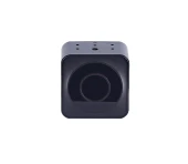
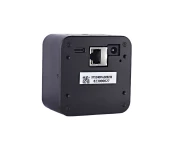
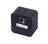
XT-S240 Mini Solid-State Flash Lidar 10m Detect Range FOV 106° x 80°
Specifications
| Scanning Method: | Solid-State Flash LiDAR |
|---|---|
| Measurement Principle: | Time-of-Flight (ToF) LiDAR |
| Light Wavelength: | 940 nm |
| FOV (Horizontal Image View): | 106 deg |
| FOV (Vertical Image View): | 80 deg |
| FOV (Mechanical View) X Span: | 120 deg |
| FOV Vertical (Mechanical View): | 94 deg |
| Average Power: | 6 – 6 W |
| Accuracy: | 1 – 3 % |
| Angle Resolution (H): | 0.33 deg |
| Angle Resolution (V): | 0.33 deg |
| Measurement Distance Outdoor (50% Reflectivity): | 10 m |
| Measurement Distance Indoor (50% Reflectivity): | 0.3 – 12 m |
| Frame Rate: | 1 – 20 Hz |
| Working Temperature: | -20 – 60 degC |
| Lines: | 240 |
| Laser Safety Class: | Class 1 |
| S Series: | Short Range |
| Manufacturer Part Number (MPN): | XT-S240Mini |
| FindLight SKU: | FL-23917 |
Got questions about specs? Use the inquiry form to ask.
Features
- Advanced Solid-State Flash Lidar Technology: The XT-S240 Mini utilizes cutting-edge solid-state flash lidar technology, providing high-resolution 240-line scanning for precise and reliable data capture.
- Class 1 Laser Safety Certification: Certified to meet EN60825 standards, ensuring safe operation without risk to human eyes and body during normal use.
- Seamless Operation: The XT-S240 Mini begins operation immediately upon power connection, eliminating the need for a power switch and ensuring continuous data acquisition.
- Robust Performance in Challenging Environments: Designed to perform reliably in various conditions, including high/low temperatures, strong vibrations, and heavy fog, while maintaining optimal performance.
- Comprehensive Safety Features: Equipped with safety warnings to prevent direct eye exposure to the laser, especially through magnifying equipment, and to avoid contact with the device's shell during and after operation due to high temperatures.
Applications
- Autonomous Vehicles: Enhance navigation and obstacle detection for self-driving cars.
- Robotics: Improve spatial awareness and precision in robotic applications.
- Industrial Automation: Optimize processes with accurate distance and speed measurements.
- Security Systems: Implement advanced surveillance with precise motion detection.
- Mapping and Surveying: Conduct detailed 3D mapping and terrain analysis.
- Agriculture: Monitor crop health and automate farming equipment.
- Smart Cities: Enhance traffic management and infrastructure monitoring.
- Augmented Reality: Enable immersive experiences with accurate environmental mapping.
- Drone Technology: Improve navigation and obstacle avoidance for UAVs.
- Environmental Monitoring: Conduct precise measurements for climate and environmental studies.
Export & Trade Information
| ECCN: | EAR99 |
|---|---|
| HTS Code: | 9015.10.4000 |
| Estimated US Tariff: | 25% |
Frequently Asked Questions
What is the XT-S240?
Is the XT-S240 Mini solid state LiDAR sensor safe for human eyes?
What precautions should be taken regarding laser safety?
Does the XT-S240 Mini LiDAR sensor have a power switch?
What should I avoid during the operation of the XT-S240 Mini?
Got more questions? Use the RFQ form to ask the supplier directly.
Similar Products

Need pricing for this product? Send a quick inquiry
Your inquiry has been received.
Create an account by adding a password
Why create an account?
- Auto-complete inquiry forms
- View and manage all your past messages
- Save products to your favorites
- Close your account anytime — no hassle