Description
XT-M120 Pro 120 Lines Solid-State Flash Lidar by Shanghai ToFFuture Technology Co., Ltd is a cutting-edge solution designed to meet the demands of modern technology applications. This advanced LiDAR system is engineered to provide precise and reliable data, making it an essential component for industries that require high-performance sensing capabilities. With its solid-state design, the XT-M120 Pro offers enhanced durability and longevity, ensuring that it can withstand the rigors of various operational environments.
XT - M120 Pro is a cost-effective, safe and reliable pure solid state flash blind detection LiDAR sensor. It can be widely used in autonomous vehicles, industrial machinery, UVA, intelligent traffic areas, such as engineering vehicles, intelligent security robots, V2X vehicles and road synchronization, blind detection and corner LiDAR.
One of the standout features of the XT-M120 series is its ability to emit invisible laser light during operation, which is crucial for applications that require discreet and efficient data collection. The product adheres to Class 1 safety standards and has obtained the human eye safety CB certification, ensuring that it is safe for use in environments where human interaction is frequent. This makes the XT-M120 series an ideal choice for industries that prioritize safety without compromising on performance.
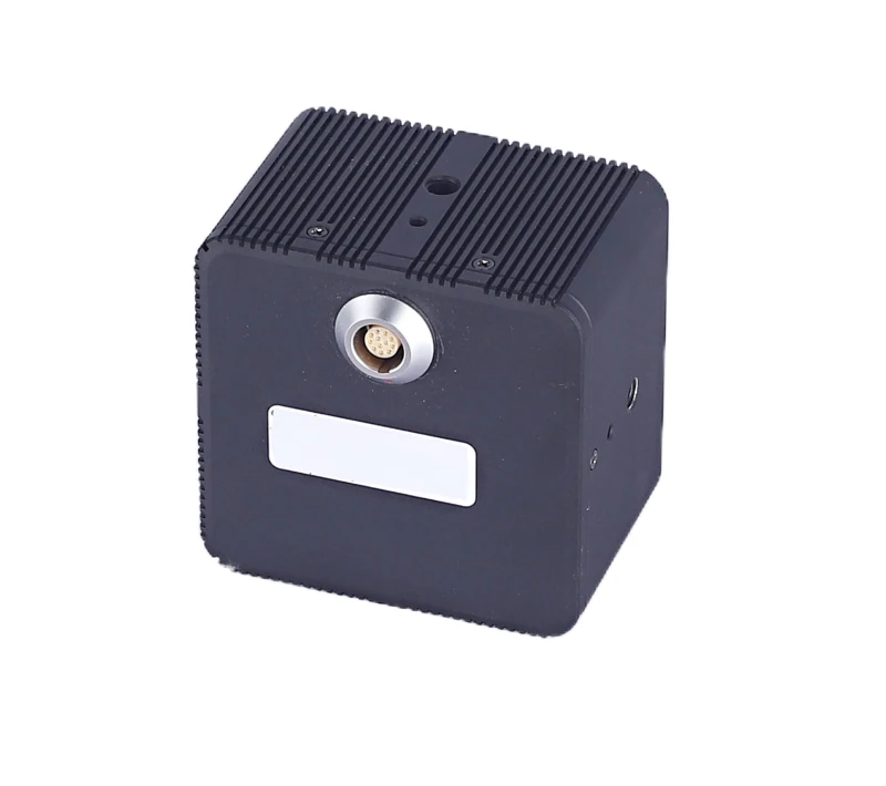
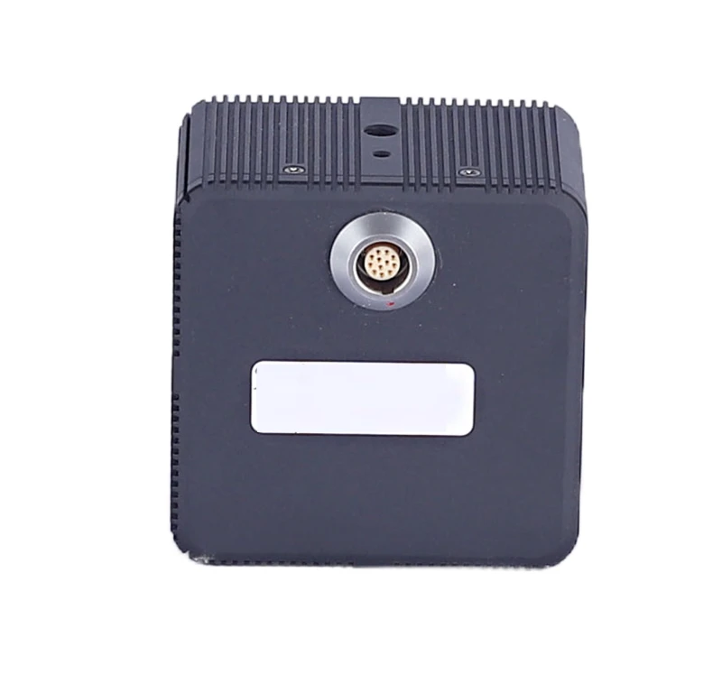
In terms of operational efficiency, the XT-M120 series is designed to function seamlessly once powered, eliminating the need for a manual power switch. This feature ensures that the lidar is always ready for immediate use, providing users with a hassle-free experience. However, it is important to note that the product's light cover should be treated as the laser emission area, and direct viewing should be avoided to maintain safety standards.
The XT-M120 series is also built to withstand challenging environmental conditions. While it performs optimally within specified temperature ranges, it is crucial to avoid extreme temperatures and conditions such as strong vibrations or heavy fog, which could potentially impact its performance. By adhering to these guidelines, users can ensure that the XT-M120 delivers consistent and accurate results, making it a reliable choice for a wide range of applications.
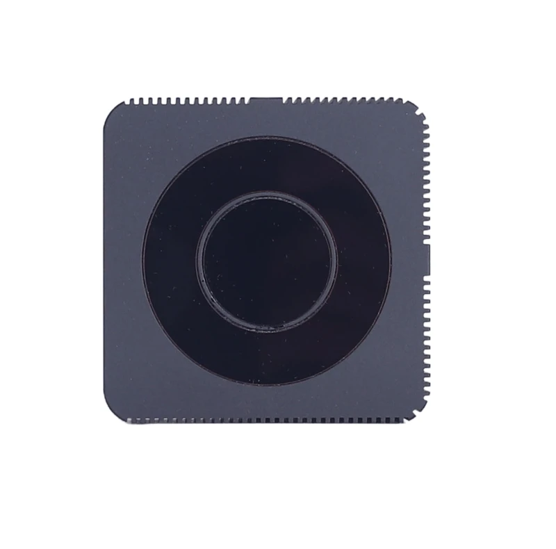
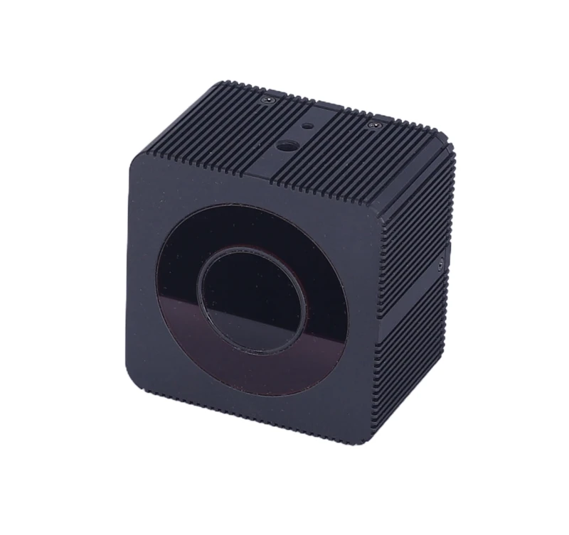
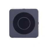
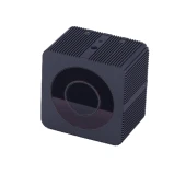
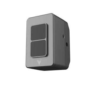
XT-M120 Pro Solid-State Flash LiDAR 30m Detect Range FOV 72° x 58°
Specifications
| Scanning Method: | Solid-State Flash LiDAR |
|---|---|
| Measurement Principle: | Time-of-Flight (ToF) LiDAR |
| Light Wavelength: | 940 nm |
| FOV (Horizontal Image View): | 72 deg |
| FOV (Vertical Image View): | 58 deg |
| FOV (Mechanical View) X Span: | 77 deg |
| FOV Vertical (Mechanical View): | 64 deg |
| Average Power: | 12 – 12 W |
| Accuracy: | 1 – 3 % |
| Angle Resolution (H): | 0.22 deg |
| Angle Resolution (V): | 0.48 deg |
| Measurement Distance Outdoor (50% Reflectivity): | 30 m |
| Measurement Distance Indoor (50% Reflectivity): | 0.3 – 40 m |
| Frame Rate: | 1 – 30 Hz |
| Working Temperature: | -40 – 85 degC |
| Lines: | 120 |
| Laser Safety Class: | Class 1 |
| Certification: | CB certification |
| Standard: | EN60825 |
| M Series: | Middle Range |
| Manufacturer Part Number (MPN): | XT-M120Pro |
| FindLight SKU: | FL-23920 |
Got questions about specs? Use the inquiry form to ask.
Features
- Advanced Solid-State Flash Lidar: The XT-M120 Pro features 120 lines of solid-state flash lidar technology, offering high precision and reliability for various applications.
- Class 1 Laser Safety: Certified to meet EN60825 standards, this lidar is safe for human eyes and body during normal operation, ensuring peace of mind during use.
- Seamless Operation: The XT-M120 Pro begins operation immediately upon power connection, simplifying setup and use.
- Wide Operating Conditions: Designed to perform in diverse environments, including high/low temperatures, strong vibrations, and heavy fog, although extreme conditions may affect performance.
- Comprehensive Safety Features: Includes warnings to avoid direct eye exposure to the laser and recommendations for safe operation to prevent injury or damage.
- Durable Construction: Built to withstand challenging conditions, though users should avoid direct contact with the shell during or immediately after operation due to potential high temperatures.
- Technical Support: Access to dedicated support via email for troubleshooting and assistance, ensuring optimal product use and longevity.
Applications
- Autonomous Vehicles: Enhance navigation and obstacle detection for self-driving cars.
- Robotics: Improve spatial awareness and object recognition for industrial and service robots.
- Mapping and Surveying: Generate detailed 3D maps for construction, mining, and urban planning.
- Security and Surveillance: Monitor and track movements in secure areas with high precision.
- Agriculture: Assist in crop monitoring and management through precise field mapping.
- Smart Cities: Facilitate traffic management and infrastructure monitoring.
- Virtual and Augmented Reality: Enhance user experiences by integrating real-world data into virtual environments.
- Industrial Automation: Optimize processes by providing accurate spatial data for machinery and equipment.
- Environmental Monitoring: Track changes in natural landscapes and ecosystems.
- Research and Development: Support scientific studies requiring precise spatial measurements.
Export & Trade Information
| ECCN: | EAR99 |
|---|---|
| HTS Code: | 9015.10.4000 |
| Estimated US Tariff: | 25% |
Frequently Asked Questions
What is the XT-M120 Pro?
What safety precautions should be taken when using the XT-M120 Pro LiDAR sensor?
Does the XT-M120 Pro have a power switch?
What environmental conditions could affect the performance of the XT-M120 Pro?
What is the laser safety certification of the XT-M120 Pro?
Got more questions? Use the RFQ form to ask the supplier directly.
Similar Products

Need pricing for this product? Send a quick inquiry
Your inquiry has been received.
Create an account by adding a password
Why create an account?
- Auto-complete inquiry forms
- View and manage all your past messages
- Save products to your favorites
- Close your account anytime — no hassle