Gas Mapping LiDAR
Description
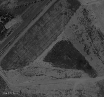
The oil & gas industry is under tremendous pressure to reduce methane emissions. This pressure has put the industry in an untenable position, as no viable technology has existed to image and quantify this invisible gas in a reliable, sensitive, and cost-effective manner—until now. Bridger Photonics’ Gas Mapping LiDAR™ makes it simple and cost-effective for the oil & gas industry to reduce methane emissions and improve overall safety. Gas Mapping LiDAR™ scans oil & gas infrastructures from the air, pinpoints the leaking equipment, and quantifies the emission rate. This process creates a map that images each plume, eliminating the need to visit each site, so operators only need to deploy field crews when a leak is detected.
Gas Mapping LiDAR
Specifications |
|
|---|---|
| Laser Wavelength: | -- nm |
| Scanning Angle: | -- deg |
| Scanning Frequency Range: | 1-1Hz |
| Angular Resolution: | -- deg |
| Measurement Range: | 1-10m |
| Distance Resolution: | -- mm |
For pricing, technical or any other questions please contact the supplier
- No registration required
- No markups, no fees
- Direct contact with supplier
-
Ships from:
United States
-
Sold by:
-
On FindLight:
External Vendor

Claim Bridger Photonics Inc Page to edit and add data
Frequently Asked Questions
Gas Mapping LiDAR™ is a technology developed by Bridger Photonics that scans oil & gas infrastructures from the air, pinpoints leaking equipment, and quantifies the emission rate of methane gas.
Gas Mapping LiDAR™ creates a map of each plume of methane gas, allowing operators to identify and address leaks without needing to visit each site. This reduces the need for field crews and improves overall safety.
Gas Mapping LiDAR™ provides immediate alerts for safety hazards and urgent concerns above a predetermined concentration threshold. It also generates final reports with satellite imagery, path-integrated gas concentration overlays, and leak attributes such as source coordinates, emitter heights, and emission rates.
Gas Mapping LiDAR™ utilizes patented layer absorption spectroscopy hardware and methods for industry-transforming sensitivity. It also features a patented scanner for large area coverage and analytics for accurate plume image generation, emission rate determination, and leak source localization.
Yes, Gas Mapping LiDAR™ has received several awards and recognition, including being a 2019 R&D 100 Winner, a 2020 Advanced Research Program Agency-Energy (ARPA-E) contract awardee, and a participant in the 2019 Alberta Methane Field Challenge (AMFC).